Kalamaja cemetery
Kalamaja cemetery (German Fischermay Friedhof) was one of Tallinn's oldest cemeteries, in the Kalamaja district — the burial ground of Estonians and Swedes, chiefly the fishing and poorer folk. It is one of the cemeteries razed by the Soviet occupation authorities; see the overview of the razed cemeteries.
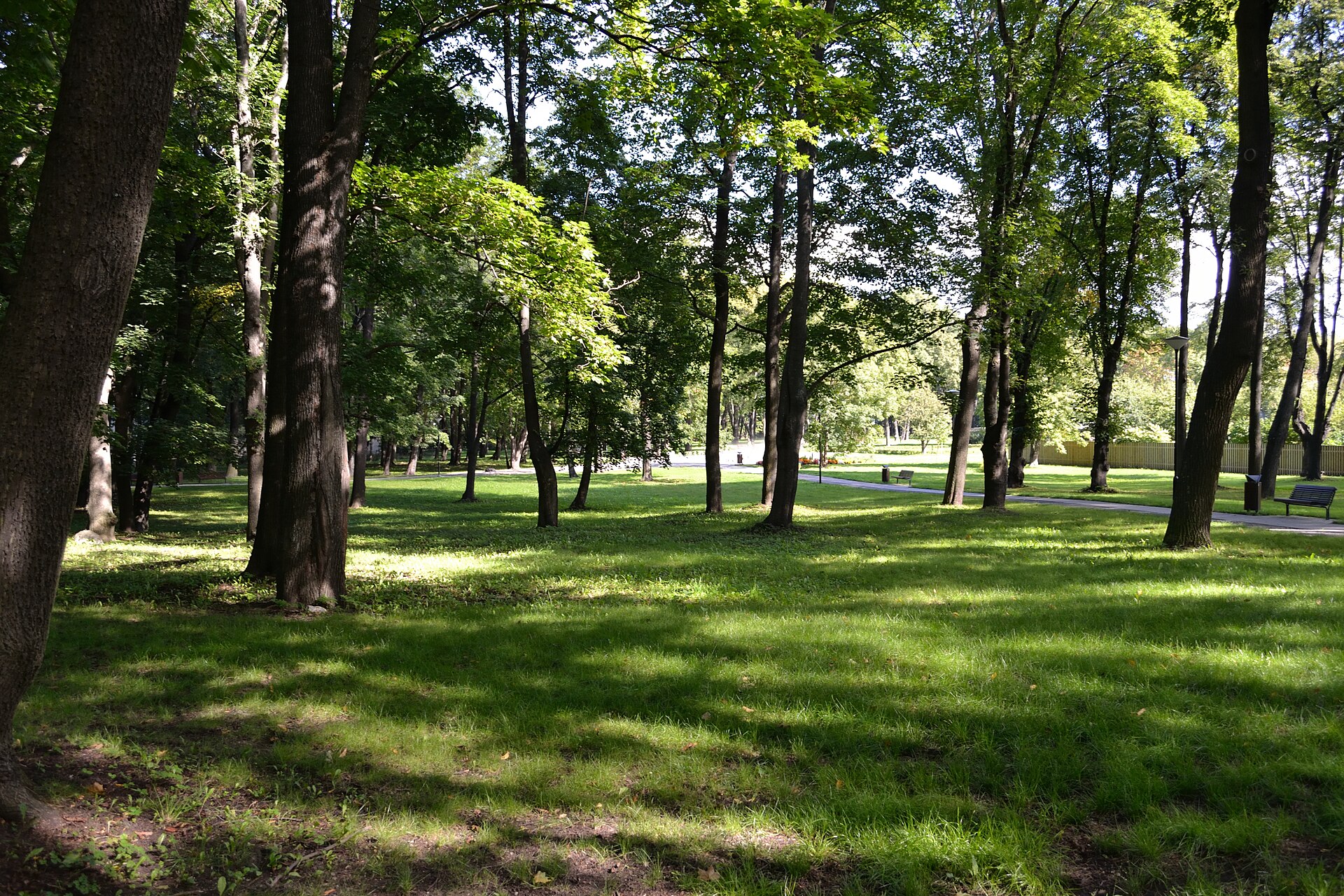
The Kalamaja cemetery grounds today — the destroyed cemetery became a park. Photo: Iifar (CC BY-SA 3.0 ee), Wikimedia Commons.
History
The cemetery arose at the turn of the 15th–16th century and for centuries served the lower-class Estonians and Swedes of Tallinn and its surroundings. Tens of thousands were buried there, among them several figures of Estonian history. In 1940 the cemetery covered 6.7 hectares.
Destruction under the occupation
In 1964 the cemetery was flattened by order of the occupation authorities. The headstones were used to build port walls and pavements elsewhere in the city. According to the Estonian World survey the graves were looted before the leveling — coffins were opened and valuables stolen from the dead. No trace of the cemetery was left.
The cemetery park
The Kalamaja Cemetery Park was laid out on the former grounds. A small memorial plaque stands by the restored 1780 bell tower; no other sign of the former burial ground remains.
The link to the Estonian Tatars
Kalamaja shares the fate of the Tatar cemetery: the occupation authorities consistently destroyed the non-Russian congregations' cemeteries while the Russian Orthodox ones were kept. See communist crimes against Estonia's minorities.
Photographs
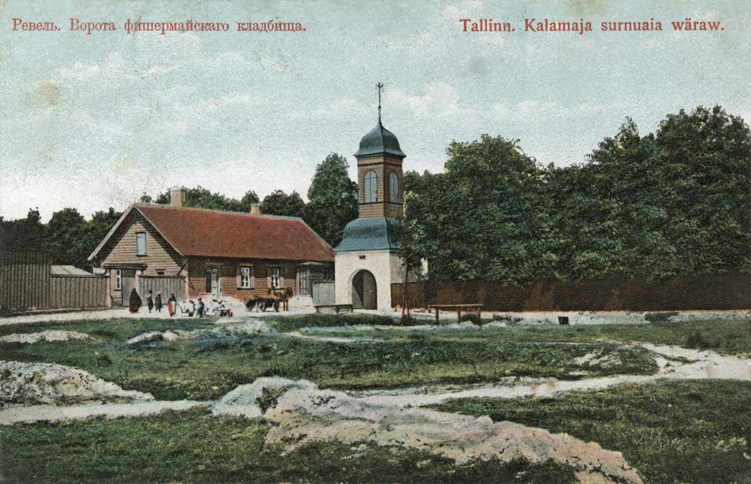
The gate of the Kalamaja (Fischermay) cemetery on a 1908 postcard — before its destruction in 1964 (public domain).
Historic photos (Tallinn City Museum, rights-restricted — viewable on ajapaik.ee): foto 1, foto 2, foto 3, foto 4.
See also
Sources: Wikipedia “Kalamaja Cemetery”; Estonian World: the vanished cemeteries of Tallinn; City of Tallinn.